Mount Porphyre's trail
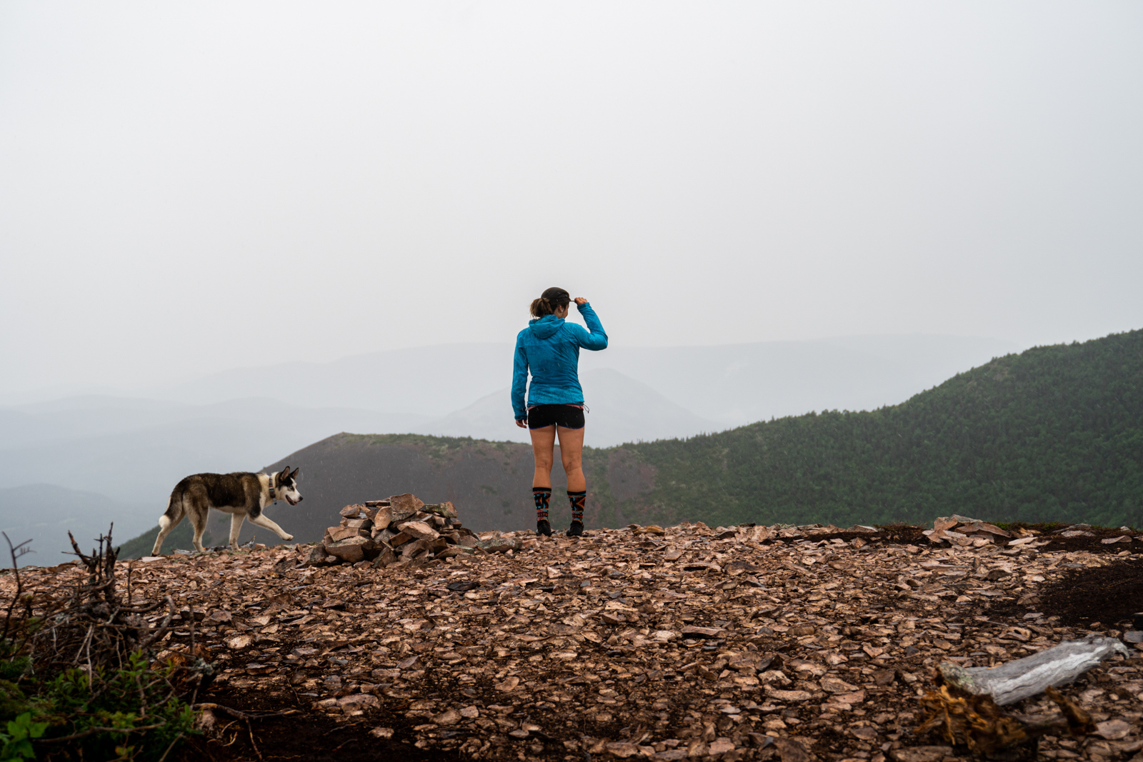
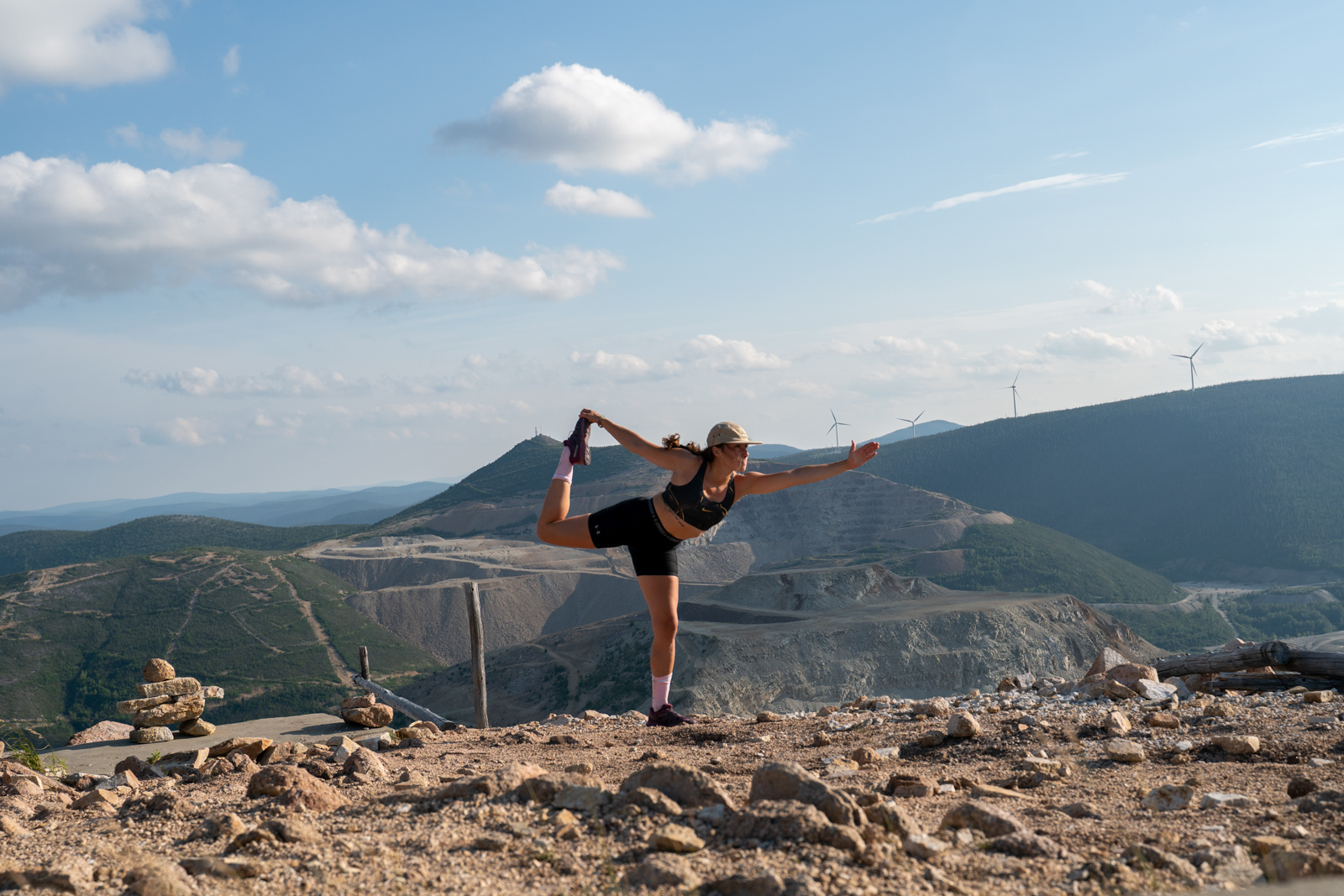
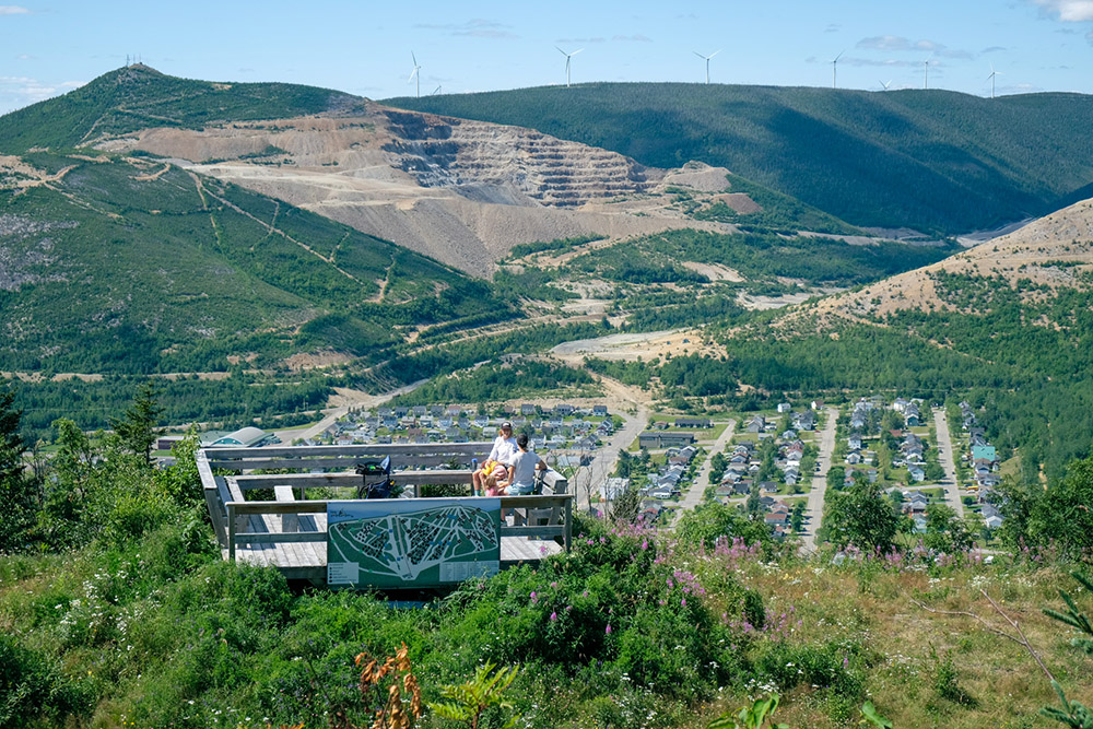
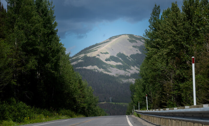
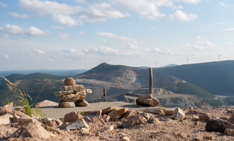
A forest path winds up through a regenerating forest to a ridge where vegetation is sparse. From the summit, we have a wide panoramic view of the town of Murdochville, the old open-air mine and the alpine ski slopes, as well as around sixty wind turbines.
Length : 4.1 km (one way)
Elevation : 228 m
Altitude : 869 m
Type : Linear
Difficulty level : Difficult
Dogs on leash are welcomed
There is a custom for those who follow this trail for the first time: they must pick up a porphyre stone, of which the mountain is principaly made, and then place it on the pile at the top. The porphyre stone is a reddish color.
Directions : On route 198, very close to the km 38 marker, is the entrance to the parking lot. The start of the trail is indicated by a small sign.
Service available :
- Small shelter at the summit
Mount Miller's trail
A beautiful stroll on a narrow and wild ski slope. It allows you to go to the first as well as the second summit of Mount Miller.
Length : 1.8 km (one way)
Elevation : 236 m
Altitude : 790 m
Type : Linear
Difficulty level : Easy
Dogs on leash are welcomed.
Directions : At the base of Mount Miller, follow the ski slope at the far left end to the first summit (La Machine). You can then continue on to the second summit.
Services available :
- Belvedere (First summit)
- Picnic table
Mount Saint-Pierre's trail
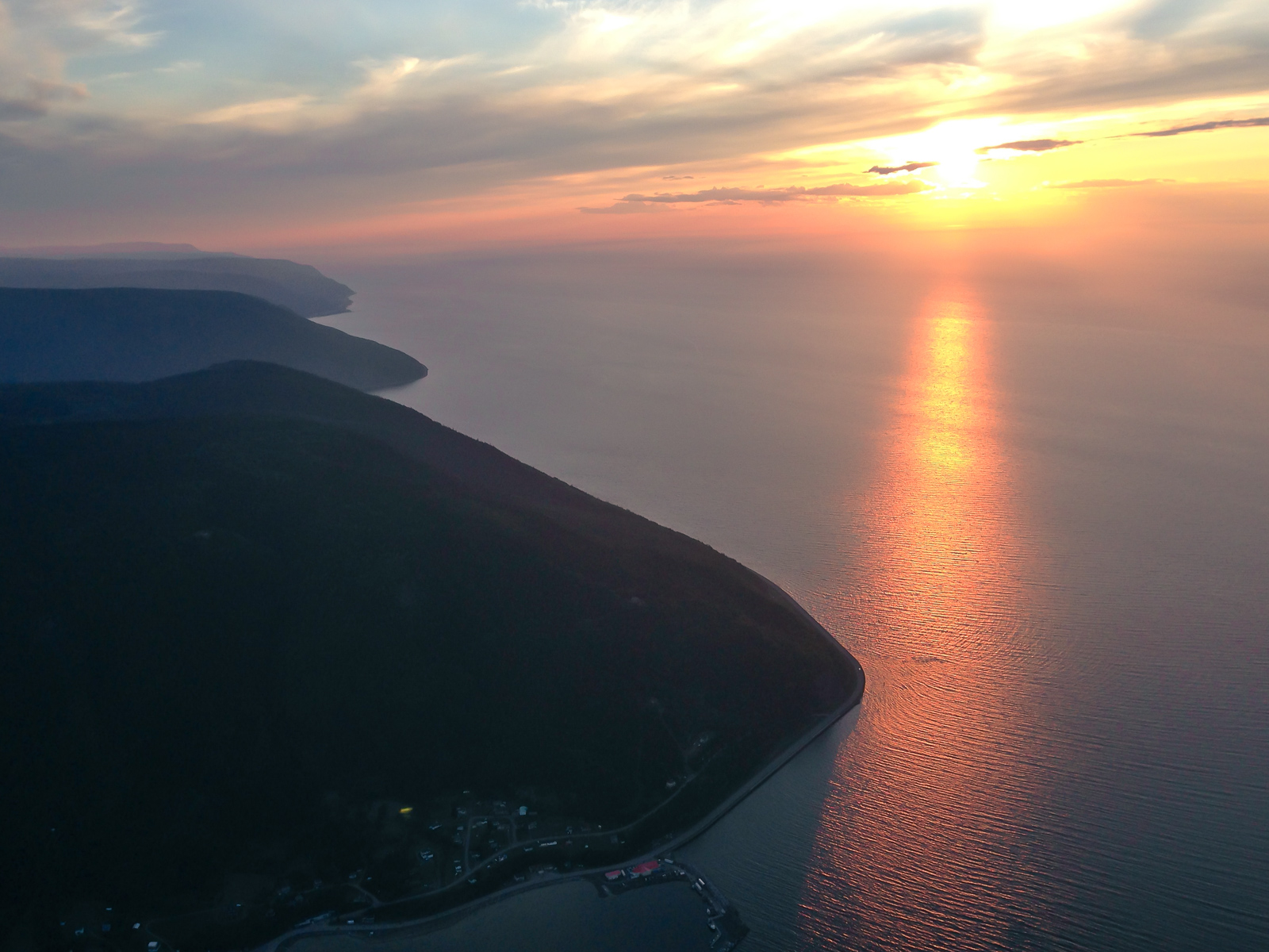
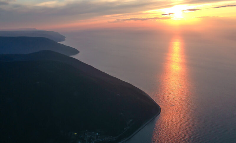
Mount Saint-Pierre is characterized by its steep slopes as well as the geomorphological phenomena you can observe there. The trail climbs through a mixed forest by following a small river and then it’s followed by a more rocky area until the summit. The summit offers a splendid panoramic view of the village, the valley of the Mont-Saint-Pierre river and the Gulf of Saint-Laurent.
Length : 4.2 km (one way)
Elevation : 419 m
Altitude : 430 m
Type : Linear
Difficulty level : Difficult
Dogs on leash are welcomed.
Directions : You can park at the base of Mount Saint-Pierre and from there follow the trail’s indications.
Services available :
- Shelter at the summit
- Belvedere
- Picnic table
- Handgliding and paragliding jumps
- Washrooms
Mount Vallières-De-Saint-Réal's trail
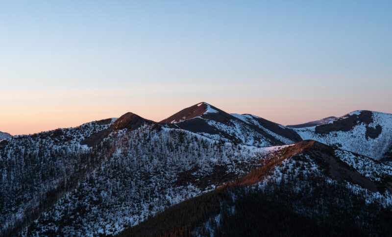
This hiking trail is less known and can be found in the Réserve Faunique des Chic-Chocs. It is surely one of the most beautiful hiking trails in Quebec, it will quench the thirst of mountain lovers and great adventurers. On this trail you can hike a stunning, long, bare ridge that offers extraordinary views in all directions from a series of small peaks.
Length : 6 km (one way)
Altitude : 940 m
Type : Linear
Difficulty level : Hard
Directions : You can find a small parking near the base of the mountain, on route 3, not really far from Ste-Anne-des-Monts. If the parking is full, you can park on the side of the road easily.

