The different trails are accessible according to their location:
MURDOCHVILLE
Marius Trail
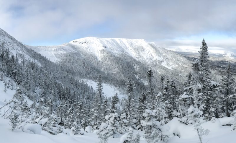
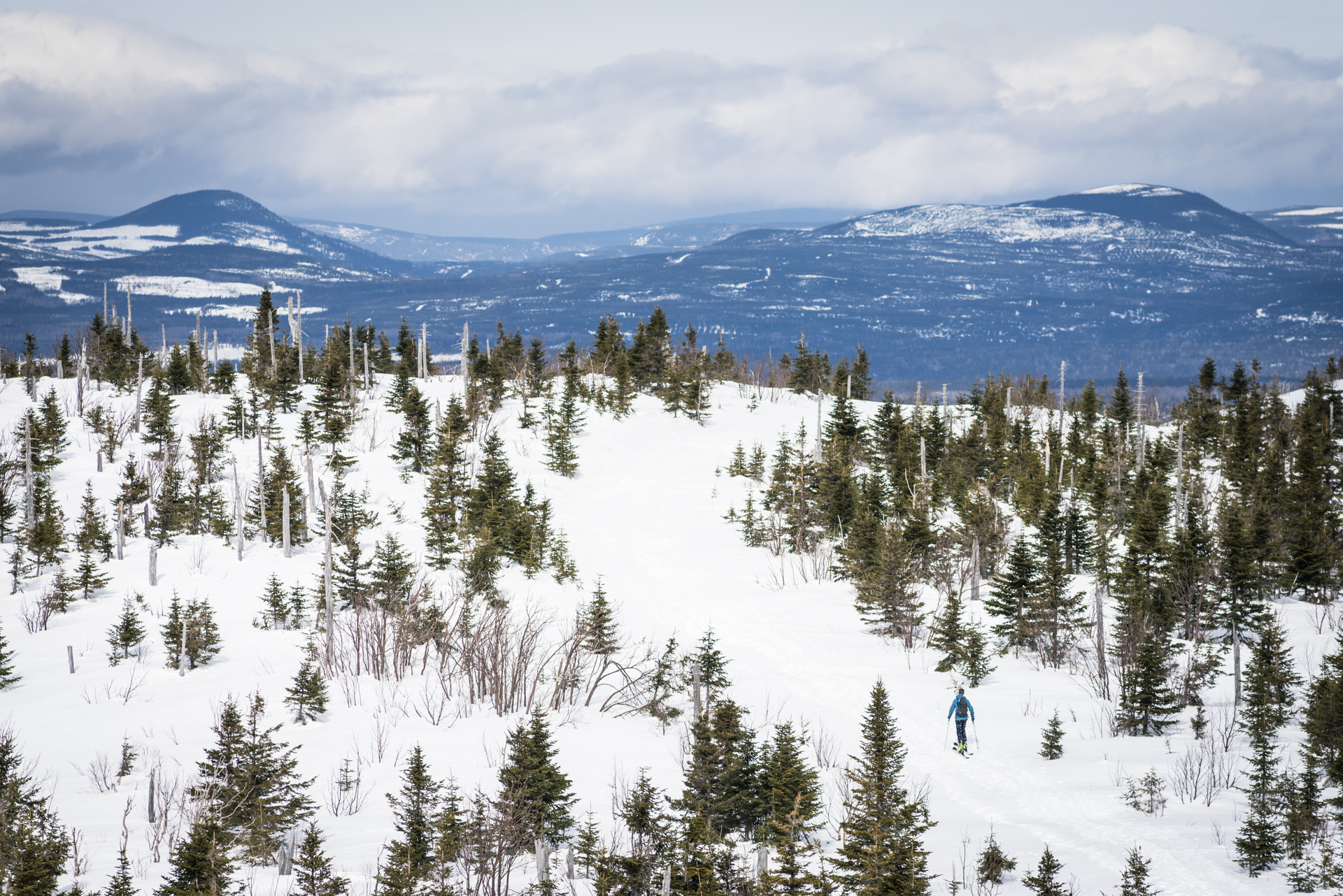
The Marius Trail is a well-kept secret. The trail bears the name of its creator and is well-known by local residents. It will take you through a mixed forest covered with a thick white mantle and visited occasionally by local wildlife. This trail will charm you with its tranquility and breathtaking natural landscapes!
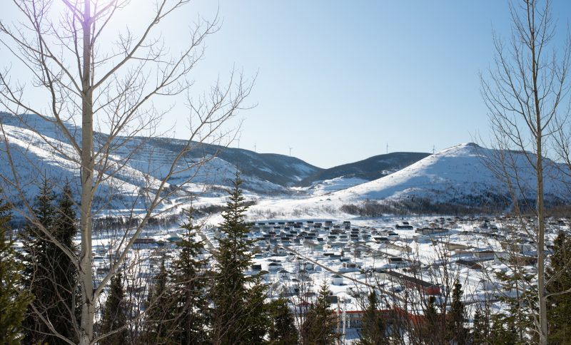
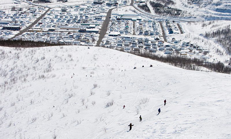
Access to the Marius Trail is free and its entrance is located at the foot of the Mont Miller Ski Resort. Parking at the resort is free. In winter, this trail is accessible for snowshoeing, while it can be hiked on foot throughout other seasons. Dogs are welcome on the trail on the condition that owners keep them on a leash and pick up their droppings. The trail is 4.7 km long with a 210 meters vertical drop. It is an advanced level trail. The trail starts in a linear fashion to join a loop that completes the trail. The loop leads directly to the summit on the south side of the mountain, then down the north side and joins the loop on the west side. The summit is at 822 metres of altitude and provides a panoramic view of the town of Murdochville, the off-trail ski runs on Mont Porphyry and the wind turbines surrounding the small community.
Porphyry Trail
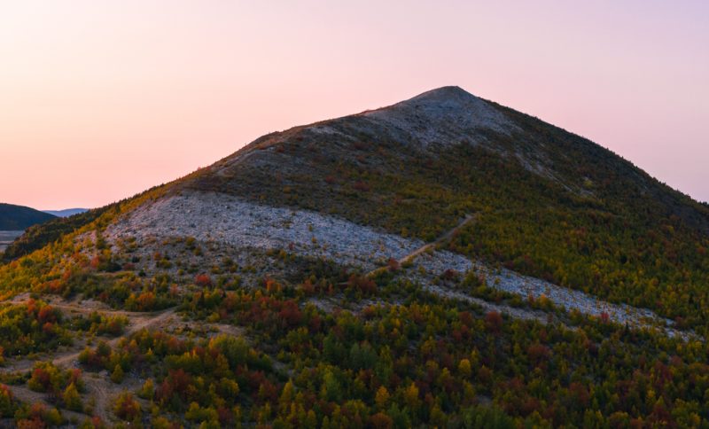
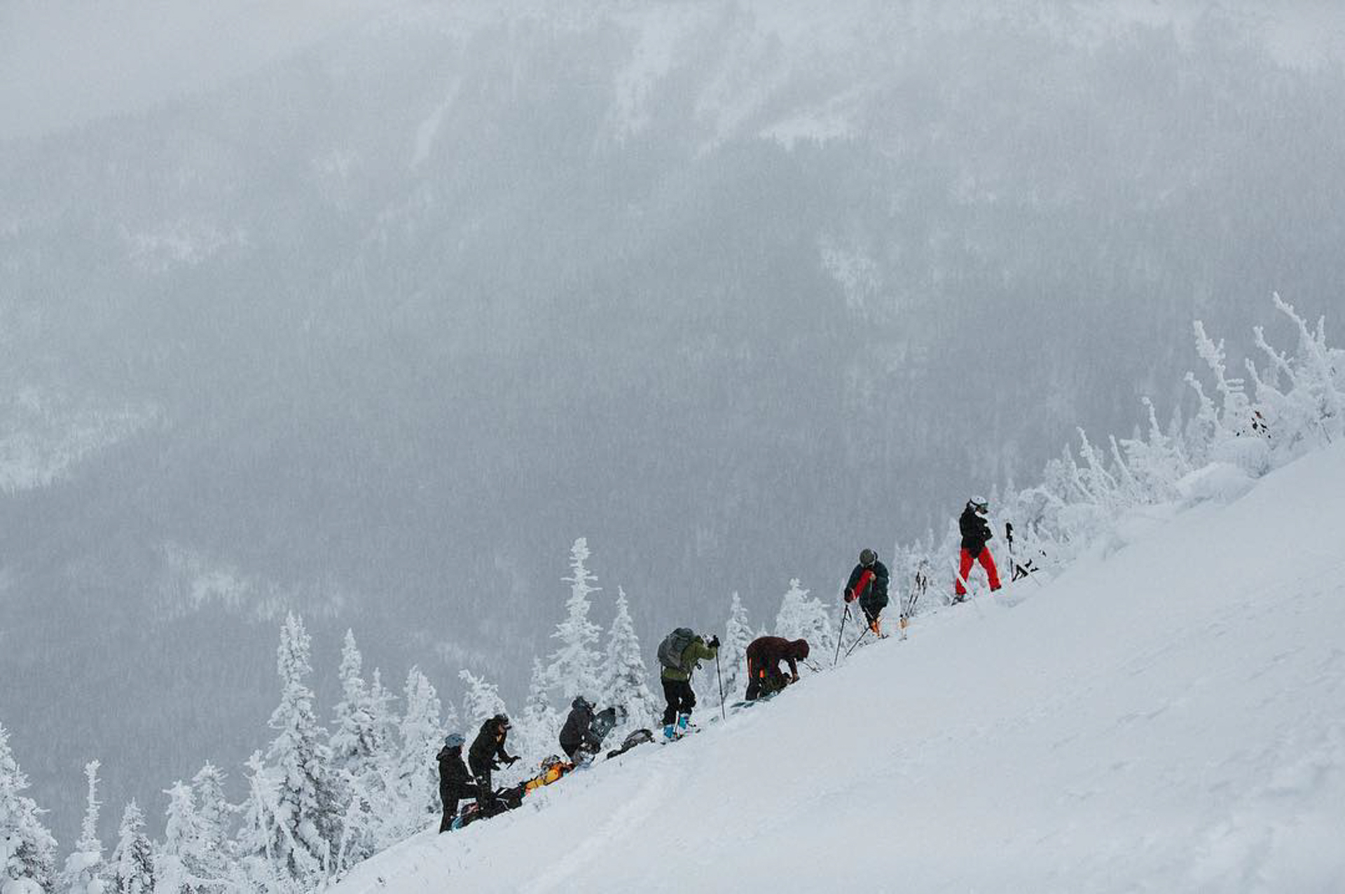
Mont Porphyry takes its name from the rock that makes up most of the mountain. Mont Porphyry is generally recognized by off-trail skiers for its beautiful powdered snow. The snowshoe trail is also very popular. Locals enjoy hiking the magnificent snowy landscapes and peaceful trails.
Access to the Porphyry Trail is free and can be reached through several access points. The main entrance is located on Route 198, near the 38 km marker. Parking here is free. The trail’s entrance is indicated by a small sign. Another access point is at the end of William-May Street. You can park here as well. The trail’s entrance is indicated by a small sign next to the federated snowmobile trail. The third entrance is located at the corner of 8th Street and Curés-Allard Avenue and allows for a more direct ascent to the summit via the ridge. A hut and a picnic table are also located at the top of the mountain, allowing you to enjoy a relaxing moment while admiring the view. In winter, this trail is accessible for snowshoeing, while it can be hiked on foot throughout other seasons. Dogs are welcome on the trail on the condition that owners keep them on a leash and pick up their droppings. The trail is 4.1 (or 6?) km long with a 228 meters vertical drop. It is an advanced level trail. The various trails run through regenerating mixed forest to reach an open top covered in beautiful vegetation and providing an incredible view at the top. The summit has an altitude of 860 meters and the lookout provides a panoramic view of the former open-pit copper mine town of Murdochville, the Mont Miller Ski Resort, as well as the numerous wind turbines surrounding the small community. It is even sometimes possible to see Mont Jacques-Cartier and other mountains of the Gaspésie National Park when the weather is clear.
GASPESIE NATIONAL PARK
GASPÉ
Forillon National Park
Mont Pudding Stone
MONT-LOUIS
White Pine Valley Trail
MONT-SAINT-PIERRE
Mont Saint-Pierre
SAINTE-ANNE-DES-MONTS
Auberge De Montagne Des Chic-Chocs
Mont Pointu Trail
